

The Front Range and Eastern Plains saw freezing, below-zero temperatures in the double digits overnight, but the worst of the arctic blast is yet to come.
Park County, southwest of metro Denver, experienced some of the coldest temperatures overnight Saturday, National Weather Service meteorologist Robert Koopmeiners said.
Temperatures fell to minus 33 degrees at Lake George, about 40 miles west of Colorado Springs, and to minus 37 at the nearby Elevenmile Canyon Reservoir, Koopmeiners said. Some areas out east on the plains, including Berthoud, saw overnight lows near minus 19.
RELATED: Everything you need to know about the polar vortex bringing extreme cold to Colorado
Koopmeiners said temperatures bottomed out around 11 degrees below zero in Denver, but the wind chill made it feel closer to minus 29.
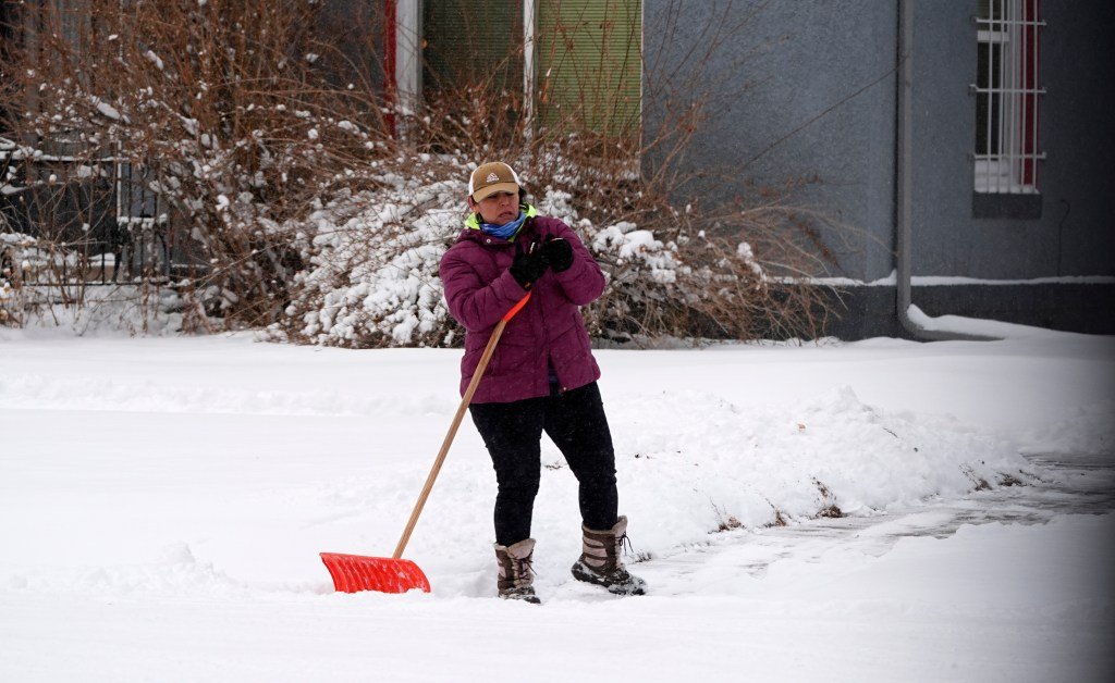
More snow is expected to fall Sunday across the Front Range and Eastern Plains, which Koopmeiners said will keep the worst of the cold at bay.
“The clouds help insulate the area when it snows, so it won’t get as cold and we won’t see some of those negative temperatures,” Koopmeiners said.
Chances for snow will start in Denver around sunset, but snowfall will be more likely to start between 7 p.m. and 9 p.m., Koopmeiners said. The city can expect an inch or two of new accumulation before the snow stops around noon Monday.
“It will be a light, dry snow that doesn’t hold a lot of moisture,” Koopmeiners said. “The kind where you shut your car door and all the snow falls off the windows.”
The coldest temperatures of the 4-day arctic blast will come Monday night into Tuesday morning, he said. Wind chill temperatures will hit minus 25 over the Eastern Plains and up to minus 50 in the mountains and mountain valleys.
Denver, alongside most of the Front Range, is under a Cold Weather Advisory until 9 a.m. Tuesday.
“Dangerously cold wind chills as low as 25 below zero could cause frostbite on exposed skin in as little as 30 minutes,” forecasters said in the advisory.
Metro Denver is forecast to see Monday night temperature lows near minus 9, with wind chills of 25 degrees below zero.
Get more Colorado news by signing up for our daily Your Morning Dozen email newsletter.
Originally Published:
