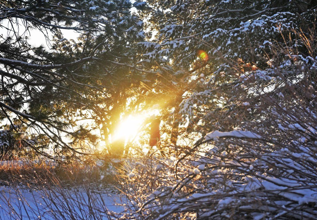
A second wave of snow will sweep over Colorado between Thursday and Saturday, bringing up to 10 more inches to some parts of the state, according to the National Weather Service.
Snow accumulation will be most likely in the Front Range mountains, foothills and across the Palmer Divide, forecasters said in a Hazardous Weather Outlook. Lower elevations, including Denver and the Eastern Plains, will see a mix of rain and snow, according to the outlook.
As of Wednesday morning, snow accumulation forecasts were only available through 6 a.m. Friday. The storm is expected to last into Saturday.
Wednesday snow forecasts include:
- Between a dusting and 1 inch in Denver, Arvada, Broomfield, Littleton, Northglenn and at Denver International Airport
- Between a dusting and 2 inches in Aurora, Centennial, Highlands Ranch and Lakewood
- Between a dusting and 3 inches in Golden, Castle Rock and Parker
- Between 2 and 8 inches at Eldora, Copper Mountain, Vail and Winter Park
- Between 3 and 9 inches along U.S. 6’s Loveland Pass
- Between 4 and 10 inches along U.S. 40’s Berthoud Pass and at the Eisenhower-Johnson Tunnels
- Between 3 and 11 inches in northern Colorado’s Park Range of the Rocky Mountains, including on Mount Zirkel
- Between 4 and 9 inches in western Colorado’s San Juan Mountains, including Red Mountain Pass and Wolf Creek Pass
- Between zero inches and a dusting on the Eastern Plains, including Crook and Sterling
- Between zero inches and a dusting on the western slope, including Grand Junction and Craig
Snow is forecast to wrap up across the Front Range by noon Saturday and in the mountains by midnight, NWS forecasters said.
Forecasters said warm and sunny weather will return starting Sunday into the next week. Temperatures in Denver will return to the 60s on Monday and hit nearly 70 degrees by Tuesday, forecasters said.
Get more Colorado news by signing up for our daily Your Morning Dozen email newsletter.


Leave a Reply