

Snow that started falling across Colorado on Sunday night will continue Monday morning before a second round of winter weather moves in on Tuesday, according to the National Weather Service.
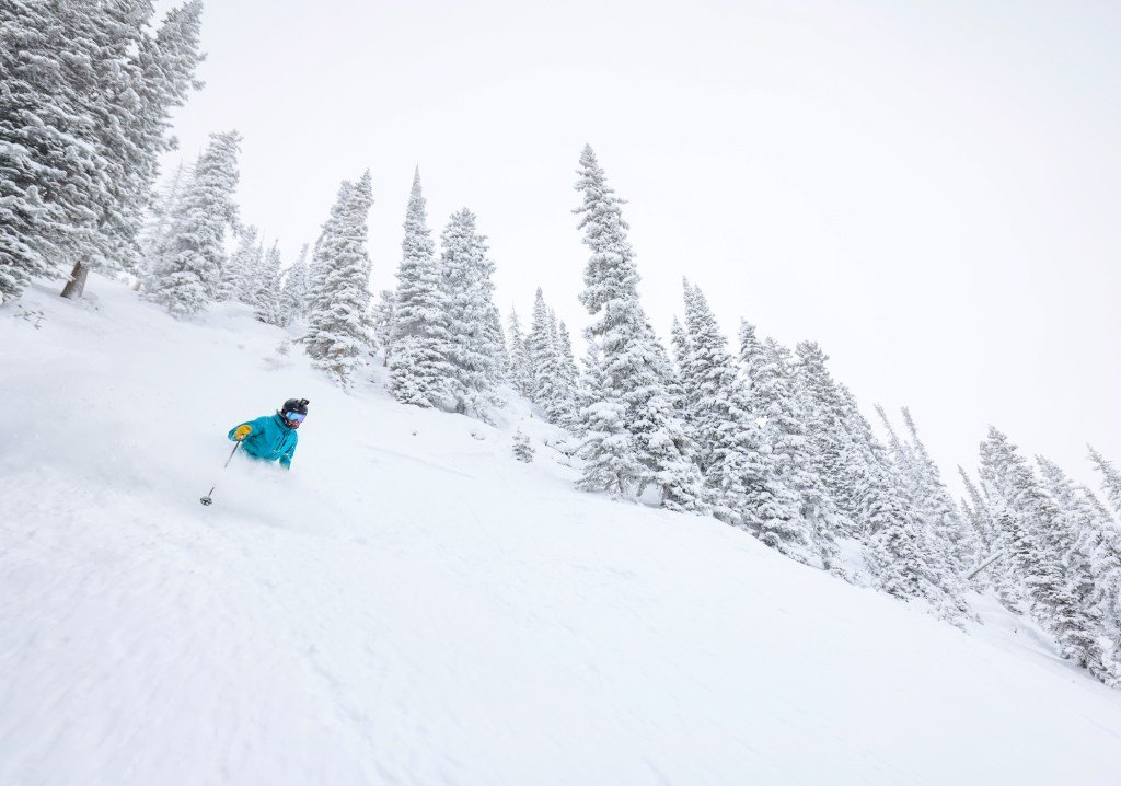
As of 6 a.m. Monday, the Rocky Mountains — including Breckenridge and Copper Mountain — had reported more than a foot of fresh snow, according to NWS snow totals.
A Winter Storm Warning remains in effect for Colorado’s mountains above 9,000 feet until 11 a.m. Monday, according to NWS forecasters.
The mountains could see another two inches of snow stack up by the time the warning expires, forecasters said in the weather alert.
No snow totals were available Monday morning for the Denver area, but light flurries are expected to continue in the city until 9 a.m., according to NWS forecasters.
Any snow that falls after 6 a.m. Monday isn’t expected to stick as temperatures rise above freezing, forecasters said in a Hazardous Weather Alert.
After the morning snow clears out, Denver will see a cloudy morning and sunny afternoon with temperature highs near 44 degrees, according to NWS forecasters. Temperatures will dip down into the mid-20s overnight before rising back into the low 50s Tuesday morning.
Multiple storm systems will move into Colorado on Tuesday night, bringing snow and winter weather back across the state, forecasters said.
How much snow will fall across the mountains, Front Range and Eastern Plains is still up in the air, but snow is expected to continue off-and-on across the state through Friday, forecasters said.
“The most likely outcome is a widespread, light snow event with about a 20% chance that it turns into a long-lived snowstorm with heavy snow and major impacts,” forecasters said in the Hazardous Weather Alert.
If the storm is slow-moving and strong, heavy snow could continue through the weekend, forecasters said.
Get more Colorado news by signing up for our daily Your Morning Dozen email newsletter.
